
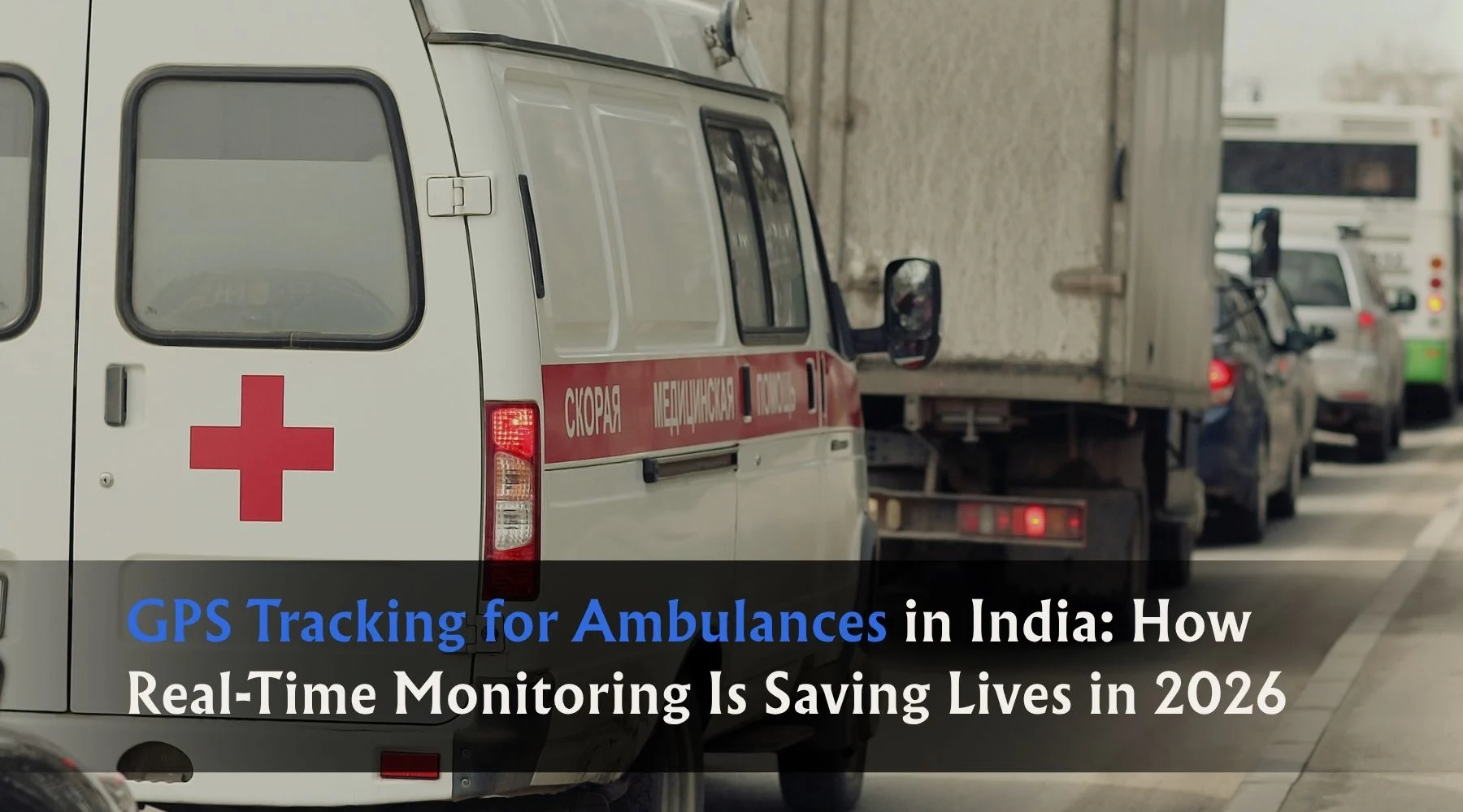
In a medical emergency, every second genuinely matters. The difference between an ambulance arriving in 8 minutes versus 14 minutes can determine whether a cardiac patient survives. Whether a road accident victim makes it to the ICU in time. Whether a woman in labour reaches the hospital safely.
India sees over 24,000 deaths every year that can be directly attributed to delays in emergency medical response. That number isn’t a statistic about bad luck — it’s a statistic about systems that weren’t fast enough, coordinated enough, or visible enough to save those lives in time.
GPS tracking for ambulances is one of the most direct ways technology has started changing that reality. This guide covers how it works, what it changes on the ground, and why hospitals, emergency services, and private ambulance operators in India can no longer afford to manage their fleets without it.
The Problem With Managing Ambulances Without GPS
Before getting into the solution, it’s worth being specific about what the problem actually looks like — because “ambulance management” sounds administrative until you understand what happens when it fails.
Dispatch delays from no real-time visibility
When a hospital control room receives an emergency call, the dispatcher needs to identify the nearest available ambulance and send it immediately. Without GPS, this means calling each ambulance driver, asking their location, waiting for an answer, calculating distance manually, and then deciding. In a city like Ahmedabad, Mumbai, or Bengaluru with heavy traffic, this process alone can waste 3–5 minutes before the ambulance even starts moving.
With GPS, the dispatcher sees every ambulance on a live map. The nearest available unit is visible in seconds. One call, one decision, vehicle moving within 60 seconds.
No route optimisation in real time
A driver who knows the area will generally take a good route. But in cities with changing traffic patterns, road closures, or peak-hour congestion, gut instinct is not enough. A GPS system that integrates live traffic data can guide the driver through the fastest available route to the emergency site — and then to the hospital — adjusting dynamically as conditions change.
In a cardiac emergency, an ambulance arriving 5 minutes earlier isn’t a minor convenience. It is the difference between survival and death.
No accountability for ambulance positioning
Emergency services that position ambulances strategically — spread across zones rather than clustered at the hospital — respond significantly faster to calls. Without GPS, there’s no way to verify or enforce positioning. Drivers park wherever is convenient. The entire zone-based dispatch strategy falls apart in practice.
With GPS, hospital administrators and fleet managers can see exactly where every ambulance is at any moment. If an ambulance has drifted from its assigned zone, it’s visible immediately and can be corrected.
No evidence in case of complaint or incident
When a patient’s family claims the ambulance took too long, or a driver disputes a route, or an incident needs investigation — without GPS records, everything comes down to memory and phone logs. With GPS, every trip is recorded: dispatch time, route taken, speed at each point, time of arrival. This protects the service as much as it holds drivers accountable.
How GPS Tracking Works for Ambulance Fleets
The technical setup is straightforward. A GPS tracking device — ideally AIS 140 certified for commercial vehicle compliance — is installed in each ambulance. The device picks up the vehicle’s location via satellite, transmits it over a cellular network to a cloud platform, and the control room dispatcher sees all ambulances on a live map in real time.
That’s the core. But modern ambulance tracking systems go significantly further:
Live dispatch dashboard The control room sees all ambulances with colour-coded status — available, en route to emergency, at hospital, returning. When a call comes in, the dispatcher clicks the nearest available unit, and the system sends route guidance directly to the driver’s device.
Panic button integration AIS 140 mandated for commercial vehicles in India requires a hardwired panic button. For ambulance crews, this has critical value beyond the regulatory requirement. If a crew member is in danger — at an incident site, during a difficult patient transport, or in an area with security risk — pressing the panic button sends an immediate alert with GPS coordinates to the control room and emergency services simultaneously.
Speed and driving behaviour monitoring Ambulances need to move fast — but reckless driving creates its own emergencies. GPS monitoring tracks speed continuously. Alerts fire when a vehicle exceeds safe thresholds. Driver behaviour reports identify patterns — harsh braking, aggressive acceleration, frequent overspeeding — that indicate a driver who needs coaching. Safer ambulance driving protects patients being transported as much as it protects the public on the road.
Geofencing and zone alerts Virtual zones are set around hospitals, designated staging areas, and key city zones. If an ambulance moves outside its assigned coverage area without authorisation, the system flags it. Strategic positioning of ambulances across the city is enforceable rather than theoretical.
Route history and trip recording Every trip — emergency call to scene, scene to hospital, hospital back to base — is recorded with timestamps. Average response times can be calculated, analysed, and improved. Route choices can be reviewed. Patterns of inefficiency can be identified and corrected at a fleet level, not just an individual driver level.
Integration with hospital management systems Advanced deployments integrate ambulance GPS data with hospital emergency management — so the receiving hospital knows the ambulance’s ETA, patient condition relayed by the crew, and can prepare the receiving team accordingly. This reduces handoff time and improves patient outcomes on the other side of the journey.
The Measurable Impact of GPS on Ambulance Response Times
The results from ambulance GPS deployments across Indian cities follow consistent patterns.
Response time reduction is the most direct and significant outcome. When dispatchers can see all units in real time and direct the nearest available vehicle, average response times drop by 20–35% compared to voice-based coordination. In a city context with traffic, those minutes are significant.
Positioning efficiency improves because management can enforce zone-based deployment rather than assuming it. When you can see that three ambulances have clustered near the main hospital and the eastern zone is uncovered, you can correct it immediately — not discover the problem when a call comes in from that zone and the nearest ambulance is 18 minutes away.
Driver accountability improves across the board. Speeding incidents decrease because drivers know the data is recorded. Unauthorised use — taking an ambulance off route, stopping for personal reasons during a shift — drops to near zero because every minute of the vehicle’s position is logged.
Fuel costs reduce through a combination of route optimisation, reduced idle time, and elimination of unnecessary trips. For private ambulance operators and hospital transport departments managing budgets, this matters practically.
Dispute resolution becomes data-based rather than memory-based. When a family disputes response time or route, the GPS record provides an objective account of exactly what happened. For service providers facing complaints in an emotionally charged environment, this protection is significant.
Who Needs Ambulance GPS Tracking in India?
Government and Municipal Ambulance Services State-run 108 and 102 emergency services operate large ambulance fleets across districts. Centralised GPS monitoring enables efficient dispatch across wide coverage areas — especially important in semi-urban and rural contexts where distances are larger and ambulances fewer. All vehicles under these services are increasingly required to carry AIS 140 compliant GPS devices.
Private Hospital Ambulance Fleets Hospitals operating their own transport — whether for emergency response, inter-facility patient transfer, or discharge transport — benefit from the same visibility and dispatch efficiency. For corporate hospitals managing 10–40 ambulances across a city, GPS tracking is operational infrastructure, not a luxury.
Private Ambulance Operators With rising demand for private emergency medical transport in Indian cities, private ambulance operators are increasingly investing in GPS tracking to differentiate on response time, provide ETA visibility to families, and build the operational credibility that wins hospital empanelment contracts.
CATS and State Emergency Services Centralised Accident and Trauma Services in major cities need multi-ambulance fleet coordination across a geographic area. GPS is the operational backbone that makes zone-based dispatch work in practice.
Industrial and Mining Emergency Services Large industrial sites — factories, mines, construction projects — maintain on-site ambulance fleets for worker safety. GPS tracking enables rapid dispatch within the site, route confirmation, and integration with corporate safety management systems. In mining operations specifically, where Sahaj GPS already has deep experience, ambulance tracking is a natural extension of the broader vehicle monitoring setup.
AIS 140 Compliance for Ambulances — What You Need to Know
Ambulances are commercial vehicles operating on transport permits in India — which means they fall under the AIS 140 mandate. The device installed must be ARAI or ICAT certified, must transmit location data to the government VAHAN server, must include a hardwired panic button, and must store at least 90 days of trip data.
A standard GPS tracker — even a good one — does not meet these requirements unless it carries the specific certification. This matters at fitness certificate renewal, during RTO inspections, and for any state or central government tender that requires verified AIS 140 compliance.
For ambulance operators who are simultaneously managing compliance requirements and operational tracking needs, the right answer is a single AIS 140 certified device that serves both purposes — not separate hardware for compliance and fleet management.
Key checklist for ambulance GPS compliance:
- ARAI or ICAT certified device with verifiable approval number
- Panic button hardwired and accessible to crew (not just driver)
- Real-time data transmission to VAHAN/NIC server active and verified
- Minimum 90 days of trip data stored and accessible
- IP65 rated hardware for weather resistance
- Internal power backup for continued transmission if vehicle power is interrupted
What to Look for in an Ambulance GPS Tracking System
Not all vehicle tracking platforms are configured for the specific needs of emergency medical services. When evaluating systems for ambulance use, these factors matter most:
Speed of dispatch interface In an emergency, the dispatcher needs to identify the nearest available ambulance in seconds. A cluttered or slow-loading map interface costs real time. The dashboard should show all units with clear status indicators, load quickly, and allow one-click dispatch without multiple steps.
Real-time traffic integration Ambulance routing needs live traffic data, not just map directions. A system that routes based on historical roads without accounting for current traffic is less effective in peak-hour urban environments.
Alert reliability Panic button alerts, speeding alerts, and zone departure alerts must arrive within seconds of the triggering event. A system where alerts are delayed by minutes is significantly less useful for emergency operations.
Mobile access for supervisors Fleet supervisors and hospital administrators need to be able to check fleet status from their phone — not just from a control room desktop. During an active multiple-casualty incident, mobile access to the dispatch map is operationally critical.
AIS 140 certification Already covered above — but confirm explicitly that the device, not just the software platform, carries the required certification.
Local support availability An ambulance tracking system that goes offline or has a device malfunction at 2 AM needs same-day, same-hour support availability. Verify what the actual support response looks like, not what is promised in the sales brochure.
GPS Tracking for Ambulances — Sahaj GPS
Sahaj GPS has worked with healthcare and ambulance operations across India for years, and the Health & Ambulance industry is one of the core verticals the platform is built to serve. AIS 140 certified hardware, real-time dispatch visibility, panic button integration, driver behaviour monitoring, and trip history recording — all configured for the specific operational requirements of emergency medical services.
For hospitals, private ambulance operators, and government health departments evaluating GPS tracking for their fleets, the combination of 15 years of Indian market experience and a platform built for both compliance and operations is what distinguishes a system that actually works from one that looks right in a demo.
The goal isn’t just to track ambulances. It’s to make emergency response faster, more reliable, and more accountable — in a country where the stakes of getting that wrong are measured in lives.
Wrapping Up
GPS tracking for ambulances is not a technology upgrade. It is an operational necessity for any emergency medical service that takes response time seriously.
Every minute saved in dispatch, every unnecessary route detour eliminated, every strategic positioning decision made visible and enforceable — these are not operational improvements in the abstract. They are outcomes that, in real emergencies, determine whether a patient survives.
India’s emergency medical infrastructure is growing. Private ambulance services are expanding. Government services are being digitised and held to higher standards. In that environment, an ambulance fleet without GPS tracking is not just less efficient — it is harder to justify to patients, to regulators, and to the communities these services exist to protect.
The technology works. The compliance framework requires it. The case for implementation is as clear as any in the GPS tracking space.
FAQ
How does GPS tracking improve ambulance response times in India?
Real-time GPS tracking helps dispatch teams identify the nearest available ambulance, choose the fastest route, and avoid traffic delays, reducing emergency response times significantly.
Can ambulance GPS tracking work in rural and remote areas?
Yes — modern GPS tracking systems use advanced network connectivity and location technologies to provide tracking coverage even in many rural and semi-urban regions across India.
What features are most important in an ambulance tracking system?
Key features include real-time location updates, route optimization, emergency alerts, hospital coordination, geo-fencing, driver monitoring, and live mobile app access for dispatch teams.
Is ambulance GPS tracking mandatory in India?
Many state and government healthcare transport systems now require GPS-enabled monitoring for emergency vehicles to improve transparency, response efficiency, and patient safety.
Can GPS tracking help hospitals manage ambulance fleets more efficiently?
Yes — hospitals and emergency service providers can monitor vehicle usage, reduce idle time, improve dispatch coordination, and maintain better emergency readiness using fleet tracking systems.