
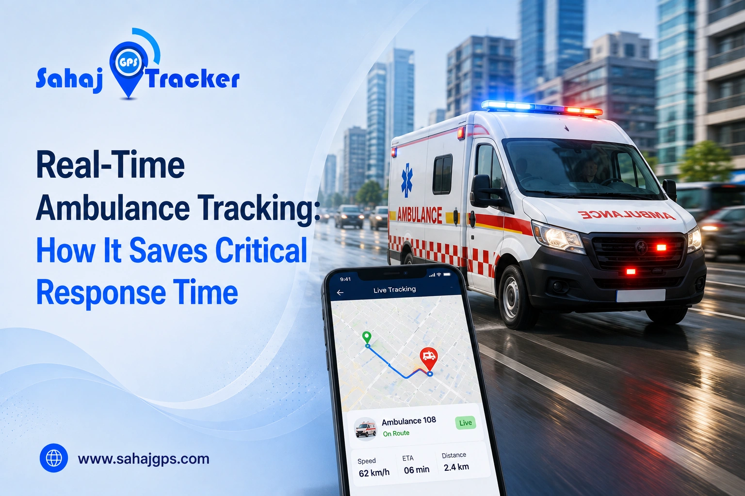
When an emergency call comes in, every minute suddenly feels different. A few minutes spent searching for the nearest available ambulance, dealing with traffic or calling a driver for an update can create unnecessary delays. This is where real-time ambulance tracking becomes useful.
An ambulance GPS tracking system allows dispatchers and emergency teams to see vehicle locations, follow routes and make quicker decisions about which ambulance should respond. It is a fairly simple technology, but in emergency transport, simple things can matter a lot. Sahaj GPS helps organisations bring GPS-based visibility into ambulance and emergency vehicle operations.
What Is Real-Time Ambulance Tracking?
Real-time ambulance tracking uses GPS technology to monitor the current location and movement of an ambulance. A GPS device installed inside the vehicle collects location information and sends it through a cellular network to a tracking platform. Authorised dispatchers or fleet managers can then see the ambulance on a digital map.
Depending on the system, the dashboard may also provide route history, vehicle speed, ignition status, trip information, geofencing alerts and other operational details. The exact features vary, but the basic purpose stays the same: know where the ambulance is and understand what it is doing on the road. Sahaj GPS provides GPS-based vehicle tracking capabilities that can help organisations monitor ambulance movement, routes and fleet activity from a central platform.
Why Ambulance Response Time Matters
An ambulance is not just another vehicle in a fleet. It may be carrying someone who needs medical attention urgently.
Imagine a road accident during peak traffic. Two ambulances are available, but one is five kilometres away and stuck near a crowded market while another is eight kilometres away on a relatively clear road. Without live location information, the dispatcher may not immediately know which vehicle is in a better position to respond.
With live ambulance tracking, the team can see where vehicles are and consider their current movement when assigning an emergency call. GPS cannot remove traffic jams, of course. It cannot make a red light disappear either. What it can do is reduce some of the uncertainty around vehicle location and availability.
How an Ambulance GPS Tracking System Works
An ambulance GPS tracking system generally combines a GPS tracking device, cellular connectivity and tracking software. The GPS unit receives location information and transmits it to the platform, where authorised users can view the vehicle on a map.
When several ambulances are operating across a city, dispatchers can see their positions at the same time. They may also be able to review which vehicles are moving, which are stationary and which have recently completed a trip. Sahaj GPS can help fleet operators use GPS-based location information to monitor vehicles, review historical routes and maintain better visibility across emergency transport operations.
How Live Ambulance Tracking Can Save Critical Time
Finding the Nearest Available Ambulance
One of the most obvious benefits is knowing where available ambulances are located. When an emergency request arrives, a dispatcher can review the fleet and identify suitable vehicles based on their current location and operational status.
Without tracking, the dispatcher may need to call several drivers and ask where they are. That takes time, especially when the emergency desk is already busy. With location information available on the dashboard, the initial decision can be much quicker.
Reducing Unnecessary Communication Delays
Emergency teams already have plenty to coordinate. Repeated calls between dispatchers and drivers can create extra work and, depending on the situation, distract drivers from the road.
A live tracking system provides a visual reference. If an ambulance is moving toward the destination, the dispatcher can see its progress without calling every few minutes for a location update. Communication is still important. Tracking simply reduces the need for routine location checks.
Ambulance Route Tracking and Faster Navigation
Ambulance route tracking helps dispatch teams understand the path an emergency vehicle is taking and identify unexpected stops, delays or route deviations.
Suppose an ambulance normally uses one road to reach a hospital, but traffic has suddenly slowed that route to a crawl. The tracking platform may show the vehicle moving unusually slowly or remaining stationary.
If the system works alongside suitable navigation tools, the dispatcher can consider whether an alternative route makes more sense. Sahaj GPS can provide route and movement visibility that supports better coordination between dispatch teams and ambulance drivers.
How an Ambulance Vehicle Tracking System Improves Fleet Coordination
Managing one ambulance is fairly straightforward. Managing 20, 50 or 100 vehicles across different locations is another story.
An ambulance vehicle tracking system can provide fleet managers with a central view of vehicle movement. They can see where ambulances are travelling, which vehicles are stationary and where previous trips took place.
This information can help organisations understand whether vehicles are positioned effectively across their service areas.
For example, if emergency calls frequently come from one part of a city while several ambulances remain concentrated in another area, historical location data may reveal the imbalance. Managers can then review whether vehicle positioning needs to change.
Ambulance Fleet Management With GPS Data
Effective ambulance fleet management involves more than tracking locations. Managers also need to consider vehicle availability, utilisation, maintenance, fuel consumption and driver performance.
GPS data can support some of these decisions. Historical route information can show which vehicles regularly travel long distances. Movement records can help identify excessive idling or unusual usage. Trip history can also help managers understand how frequently certain vehicles are deployed.
This information does not replace maintenance or fleet records, but it adds another useful layer of operational data. Sahaj GPS can support organisations that want to use vehicle location and movement data as part of their broader ambulance fleet management process.
GPS Tracking During Multi-Ambulance Emergencies
Major accidents, natural disasters and other large incidents may require several ambulances at the same time. Suddenly, the dispatcher is not coordinating one vehicle. There could be five, ten or more moving around different parts of the affected area.
Keeping track of all of them through phone calls alone can become difficult.
With a central GPS tracking platform, dispatchers can see multiple ambulance locations on one map. They can monitor movement, coordinate arrivals and understand which vehicles may still be available for another emergency. That visibility can be especially useful when communication channels are already under pressure.
Benefits of Ambulance Tracking in India
Emergency transport in India comes with very different road and traffic conditions. A route that appears short on a map may take much longer during peak traffic, while a rural ambulance may have to travel a considerable distance before reaching a hospital.
An ambulance tracking system in India can help organisations understand these real-world travel patterns. Historical route data may reveal where delays commonly occur and how long different trips actually take.
In cities such as Ahmedabad, Delhi, Mumbai, Bengaluru, Hyderabad, Pune and Chennai, traffic can change quickly. Location visibility gives dispatchers a more current picture of where vehicles are instead of relying only on estimated travel times.
In smaller towns and rural areas, tracking can still provide useful information about long-distance ambulance movement and hospital trips.
Improving Ambulance Availability With Location Data
One common challenge is knowing which ambulances are genuinely available. A vehicle may appear active in a fleet list but actually be returning from a hospital, waiting at a service location or already assigned to another emergency.
Real-time tracking can provide additional context. Dispatchers can see whether an ambulance is moving, stationary or returning from a trip and combine that information with the organisation’s operational status. This can make it easier to choose the next suitable vehicle instead of contacting multiple drivers first.
Features to Look for in an Ambulance Tracking System
A useful tracking solution should provide reliable GPS updates and a clear dashboard. Live vehicle location is the foundation, while route history, geofencing, speed alerts, trip reports and multiple-user access can add more value.
Geofencing can be useful around ambulance bases, hospitals and other important locations. When a vehicle enters or leaves a defined area, the system can record the event. Reliability matters too. A long list of features doesn’t help much if location updates are frequently delayed or the device struggles with the network conditions where ambulances actually operate.
Best Practices for Implementing Ambulance GPS Tracking
Before installing GPS trackers across an entire fleet, organisations should decide what they want to improve. Is the priority faster dispatch, better route visibility, fleet utilisation or general emergency vehicle monitoring? Once the objective is clear, it becomes easier to choose the right combination of hardware and software.
Dispatch teams should also receive proper training. During a busy emergency, the tracking dashboard should make decisions easier, not create another confusing task. Sahaj GPS can be considered as part of a GPS-based fleet monitoring approach where ambulance operators use location data for route visibility, vehicle monitoring and operational coordination.
The Real Value of Real-Time Ambulance Tracking
GPS tracking does not make an ambulance physically faster. It cannot clear a traffic jam or replace experienced emergency personnel. What it can do is reduce uncertainty.
Dispatchers can see where vehicles are. Fleet managers can review routes. Teams can identify available ambulances more quickly and understand how vehicles are moving across a service area. Those small improvements can add up.
When someone is waiting for an ambulance, nobody wants the response team spending valuable time trying to figure out where the nearest vehicle is. Having that information already available can make emergency transport more organised, especially when every minute feels like it counts.
Conclusion
Real-time ambulance tracking can make emergency transport more organised by reducing uncertainty around vehicle location, availability and routes. With an ambulance GPS tracking system, dispatchers can quickly see where vehicles are, while route history and live updates can support better coordination during busy situations. It cannot clear traffic or replace emergency teams, but having the right information at the right time can help teams respond more efficiently—especially when every minute matters.
FAQs
1. What is real-time ambulance tracking?
Real-time ambulance tracking uses GPS technology to show the current location and movement of emergency vehicles. Dispatchers can monitor ambulances, review routes and use location information when coordinating emergency responses.
2. How does an ambulance GPS tracking system save response time?
It helps dispatchers identify where ambulances are located without repeatedly calling drivers. This can support quicker vehicle selection, better coordination and faster decisions when responding to emergency requests.
3. Can ambulance tracking show the best route to a hospital?
Tracking systems can show the ambulance’s current route and movement, while compatible navigation tools may help identify alternatives. GPS itself cannot guarantee the fastest route because traffic and road conditions can change.
4. Is an ambulance vehicle tracking system useful for large fleets?
Yes. A central tracking platform can help managers monitor multiple ambulances, understand vehicle availability, review routes and coordinate vehicles across different service areas during normal and high-demand periods.
5. Can GPS tracking improve ambulance fleet management?
Yes. GPS data can provide useful information about vehicle utilisation, routes, trip history and movement patterns. Fleet managers can use these insights to improve deployment, planning and overall operational coordination.