
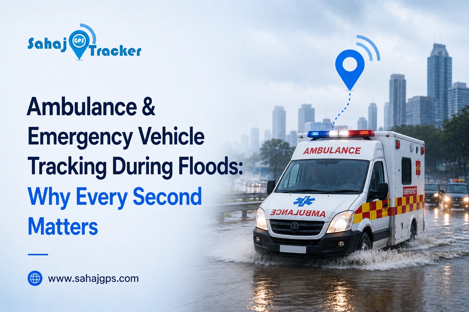
There is a moment during every flood emergency that decides everything: the moment an ambulance driver has to choose which road to take. Get it right, and a patient reaches the hospital in time. Get it wrong, because a road looked clear but was actually waterlogged, or a shorter route turned out to be blocked, and those extra twenty or thirty minutes can be the difference between life and death. This isn’t a hypothetical scenario.
It happens every monsoon season across Indian cities, and it happens more often than most people realize, simply because emergency vehicles are still navigating flood-hit areas the same way they did a decade ago, largely on guesswork and local knowledge that stops being reliable the moment water levels start rising unpredictably. real-time GPS tracking changes this equation completely, and it does so in ways that go far beyond simply knowing where an ambulance is at any given moment.
Why Floods Make Emergency Response So Much Harder
Under normal conditions, an ambulance driver already knows the fastest route to the nearest hospital. Floods destroy that certainty overnight. Roads that were clear yesterday can be submerged today. A route that looked passable an hour ago might now have waist-deep water. Traffic patterns shift unpredictably as other vehicles reroute around blocked areas, creating unexpected congestion on roads that are normally quiet.
And in many cases, the areas hit hardest by flooding are exactly the ones where communication networks also become unreliable, making it harder for dispatch teams and drivers to coordinate in real time. This is precisely the kind of chaotic, fast-changing situation where GPS tracking stops being a convenience and becomes a genuine lifesaving tool.
How Real-Time Tracking Actually Helps During a Flood
The most obvious benefit is live visibility. A dispatch center that can see exactly where every ambulance is, at any given second, can make far better decisions than one relying on radio check-ins or phone calls that might not even go through if a driver is in a low-network area. But the real value goes deeper than just watching a dot move on a screen.
Modern tracking systems allow dispatch teams to identify the nearest available ambulance to an emergency call instantly, rather than guessing based on which vehicle is theoretically supposed to be in that zone. During a flood, “theoretically supposed to be” stops meaning much, since vehicles are constantly being rerouted around blocked roads. Knowing the actual current position of every vehicle means the closest available ambulance, not just the nearest on paper, gets sent to the emergency.
Geo-fencing adds another layer of protection here. Flood-prone zones, low-lying areas, and roads known to waterlog quickly can be marked out in advance, and the system can alert dispatchers the moment a vehicle approaches or enters one of these zones. That gives dispatch teams a chance to redirect a driver before they get stuck, rather than finding out after the ambulance is already trapped in rising water with a patient inside.
Route intelligence becomes critical too. Instead of relying on a driver’s memory of “safe” roads, which becomes unreliable the moment flooding changes the map overnight, a good tracking system factors in live road conditions and reported blockages to suggest the fastest genuinely passable route, not just the shortest one on a normal day. This alone can save precious minutes that would otherwise be lost figuring out a detour after already driving into a dead end.
There’s also a coordination benefit that’s easy to overlook. When hospitals, ambulance fleets, and disaster response teams can all see live vehicle locations on a shared dashboard, it becomes much easier to coordinate multiple emergency responses happening at once, which is exactly what floods tend to create. Instead of every team operating with partial information, everyone works from the same real-time picture.
What Happens Without This Kind of Visibility
It’s worth being honest about what the alternative looks like. Without real-time tracking, dispatch decisions during a flood are often based on outdated assumptions about where vehicles are and which roads are open. Drivers make split-second decisions with no way to confirm whether a road ahead is actually passable until they’re already committed to it.
Coordination between multiple response teams happens through phone calls that may not connect, especially in badly affected areas where towers themselves can lose power or connectivity. And when something does go wrong, like a vehicle getting stuck, there’s often a significant delay before anyone even realizes it, because nobody was watching a live feed that would have flagged the problem the moment it happened.
None of this is anyone’s fault exactly. It’s simply what happens when critical decisions are made without real-time information during a situation that’s changing minute by minute. The technology to fix this gap already exists and is increasingly affordable, which makes the continued absence of it in many fleets more a matter of awareness than cost.
Beyond Ambulances: Other Emergency Vehicles That Benefit
While ambulances are the most obvious example, the same logic applies to fire trucks navigating flooded streets to reach a building, disaster response vehicles delivering supplies to cut-off areas, and even municipal vehicles trying to reach pumping stations or barriers that need urgent attention during rising water levels. Any vehicle where minutes matter and road conditions are unpredictable benefits from the same real-time visibility and geo-fencing capability.
Hospitals and private ambulance operators, in particular, are increasingly expected to demonstrate reliable response times as part of their service commitments, and during flood season, that expectation doesn’t relax, it actually increases, since these are exactly the periods when emergency calls spike the most.
What to Look for in an Emergency Vehicle Tracking System
If you’re responsible for an ambulance fleet or any emergency response vehicles, it’s worth checking whether your current tracking setup can actually handle flood conditions, not just normal day-to-day operation. A system that only updates location every few minutes isn’t fast enough when road conditions are changing by the minute.
Look for continuous, real-time updates instead. Confirm that geo-fencing can be set up quickly for temporary flood zones, since these change from year to year and even week to week during an active monsoon. And check whether the platform allows dispatch teams, hospitals, and field staff to all view the same live data simultaneously, since coordination is often what actually saves time during a crisis, not just tracking on its own.
This monsoon season, it’s worth taking a genuinely honest look at whether your emergency fleet is equipped to handle the kind of unpredictable, fast-moving conditions that flooding creates. The cost of not being prepared isn’t measured in rupees, it’s measured in the minutes a patient spends waiting for help that could have arrived sooner. If you’d like to see how real-time tracking and flood-zone geo-fencing would actually work for your ambulance or emergency fleet, our team can walk you through a live demo using your own vehicles and routes, completely free, with no commitment required.

Frequently Asked Questions
1. How does GPS tracking help ambulances during floods specifically?
It gives dispatch teams live vehicle locations and flood-zone alerts, helping them reroute drivers before they get stuck in rising water.
2. What is geo-fencing and how does it help during a flood?
Geo-fencing marks flood-prone areas in advance and alerts dispatchers the moment a vehicle enters or approaches that zone.
3. Does GPS tracking still work if network coverage drops during a flood?
Most modern trackers store data locally and sync automatically once connectivity returns, minimizing gaps in visibility.
4. Can this technology help fire trucks and disaster relief vehicles too?
Yes, the same real-time tracking and geo-fencing benefits apply to any emergency vehicle navigating unpredictable flood conditions.
5. Is emergency vehicle tracking expensive to set up?
Most AIS-140 certified systems are affordable even for small fleets, and the cost is minor compared to the response-time improvement.